NCLC Kicks Off Marine Debris Surveys Near Cape Falcon Marine Reserve
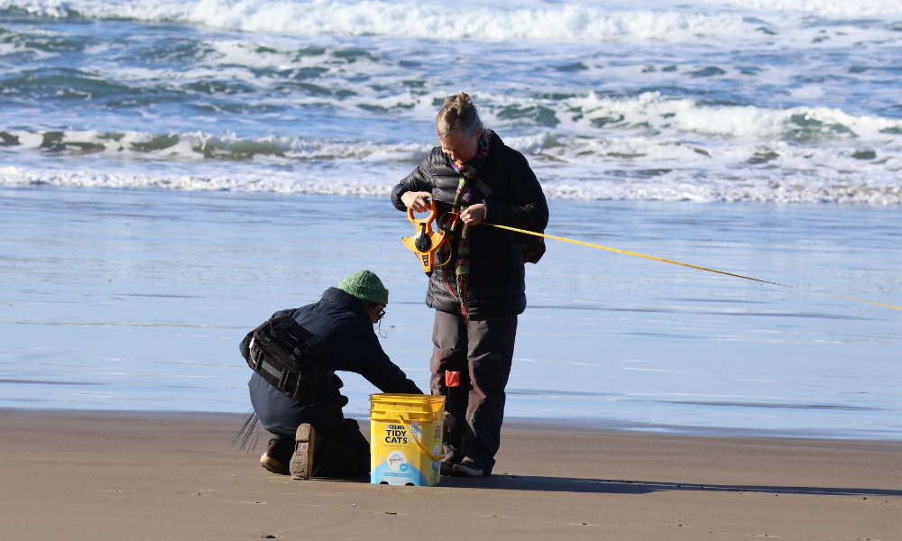
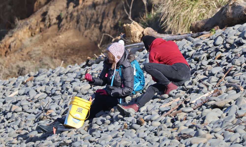
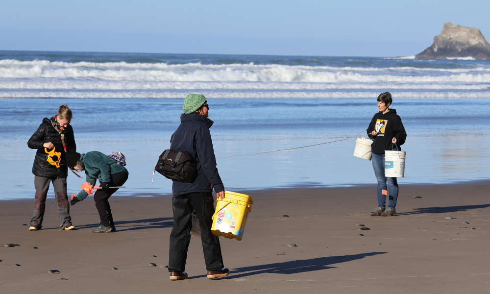
In 2025, the Marine Program of North Coast Land Conservancy started conducting marine debris survey. The survey site, located on a beach near Arch Cape and the Cape Falcon Marine Reserve, was set up several years ago by CoastWatch, the volunteer program of Oregon Shores Conservation Coalition. However, it hasn’t yet been monitored as part of the Marine Debris Monitoring and Assessment Project (MDMAP), managed by the National Oceanic and Atmospheric Administration (NOAA).
“We’re recharging this site, and we’re looking forward to conducting regular monthly surveys,” NCLC Marine Program Manager Angela Whitlock explained to volunteers at the training. The MDMAP is used to globally track marine debris and get a sense for what is washing up, where, and what time of year. This can provide insight into the main drivers of marine debris in different areas of the world. As part of the program, NOAA requires participants to use a specific protocol. Each survey site covers 100 meters, which is roughly the length of a football field. Read More